
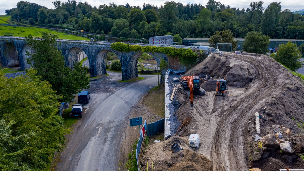
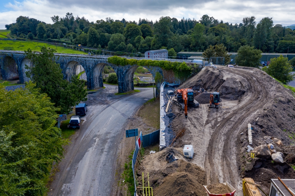
We capture super-sharp aerial imagery with accuracy, using our drones for Drone mapping, construction progression reports, time-lapse videos and 3D modeling.
We can capture 360-degree panoramas at specific altitudes and provide 3D modeling, all in a fraction of the time other methods would take and with no environmental impact.
Using UAVs to obtain orthophoto images for aerial mapping is unsurprisingly getting more and more popular. Using our GPS-enabled drones for aerial surveying is a cost-effective solution when compared to traditional aerial mapping methods using full-sized aircraft.