
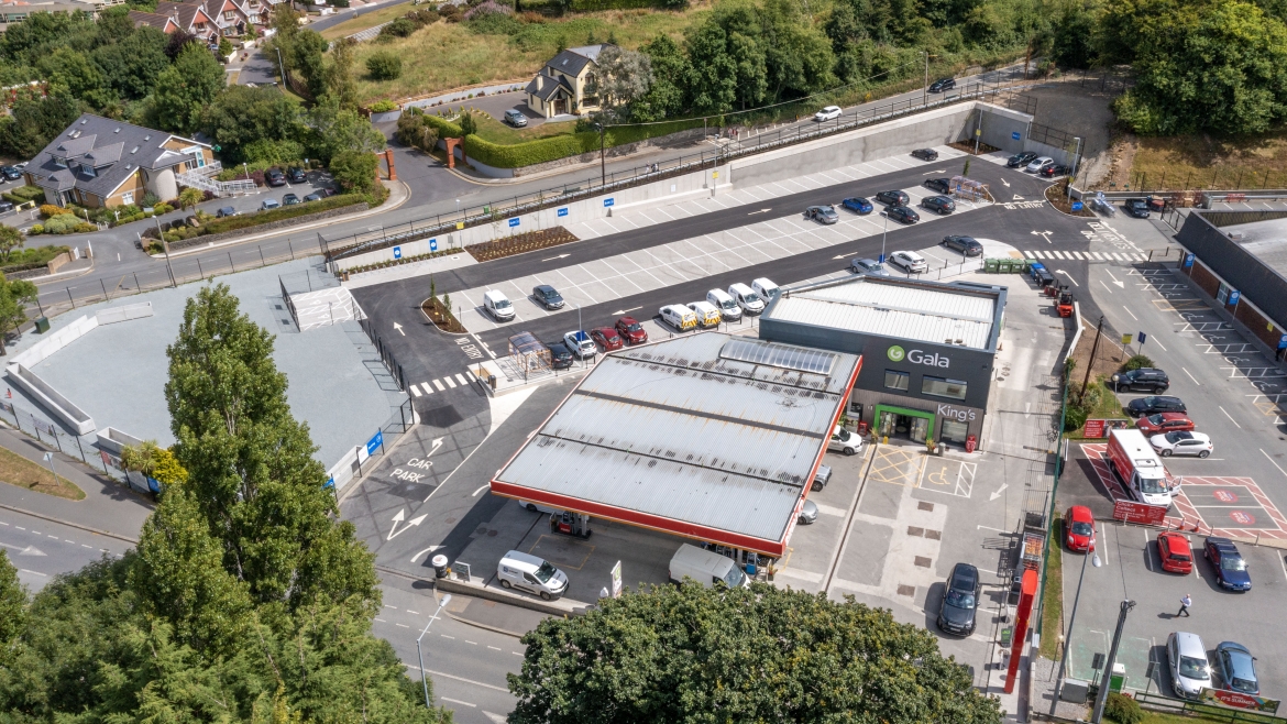
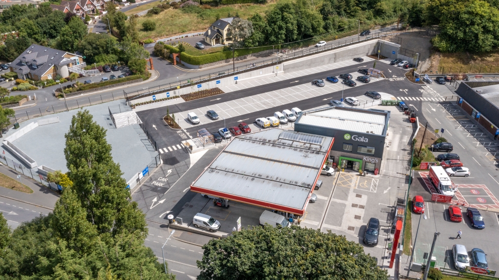
Hostile and difficult locations or poor land is not easy to map accurately as there are many obstacles to overcome. We offer a cost-effective and affordable solution using drone technology. Our mapping services aren’t just outlined with dimensional measurements. Our maps are similar to Google maps (photo map) and details such as passages, roadways, boundaries, drains, streams are clearly evident.
Accurate mapping services help when explaining to contractors about any works to be carried out. Accurate field acreage can be obtained to ensure contractors are charging a fair price. If you have recently completed drainage works, our mapping services will identify all drainage works carried out for future records.